Different Trains
Posted May 06, 2017
Tags: trains, NYC
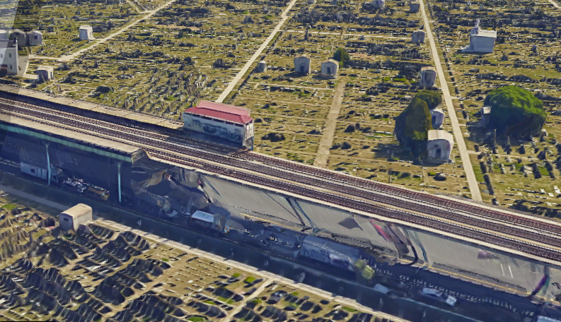
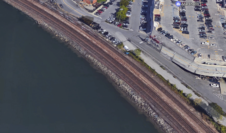
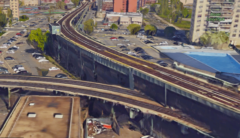
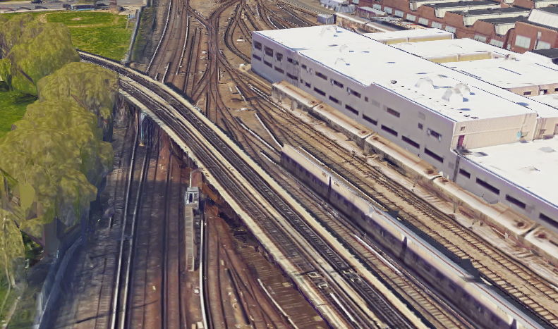
One day I was hiding in my room full of anxiety after a rather heated conversation with a roommate. So I decided to follow the train lines of the New York City Transit system in the parts of the city where it doesn’t run underground.
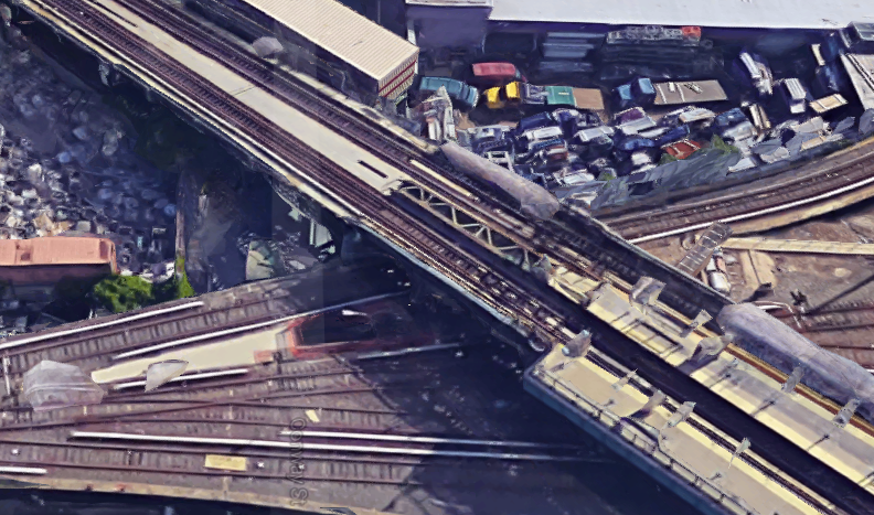
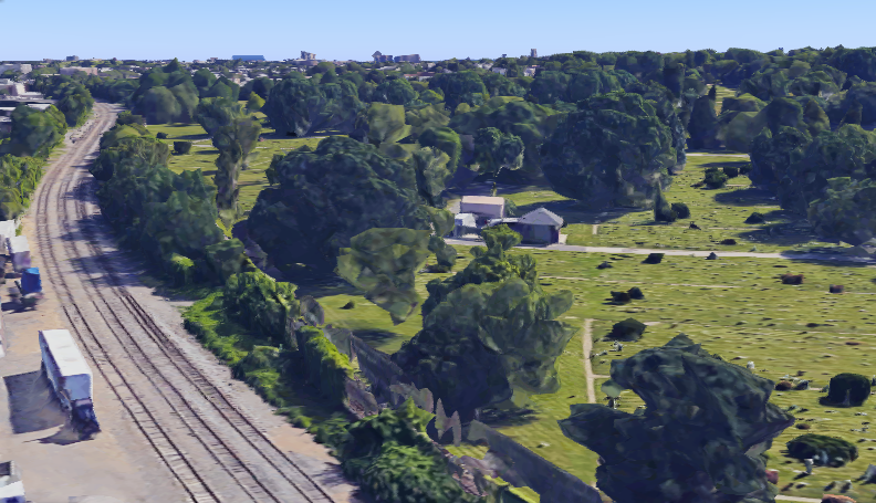
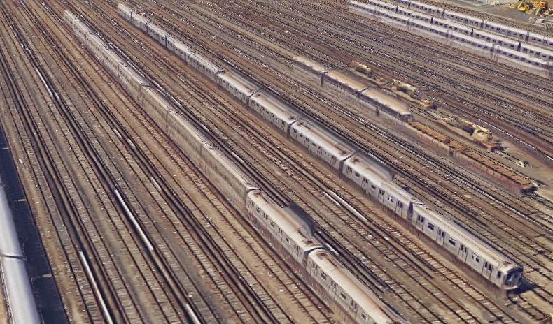
I did this on Google Maps with its satellite imagery. Google did its best with image plane projection and 3-D reconstruction. Sometimes it didn’t, as you will see. I do this often as a part of preparing for a trip — checking a place that I am about to visit. But it has always been in anticipation of reality and never truly with an explorative attitude. This time it was. I didn’t know where I was headed, and all these locations are about an hour away or less from where I live.
Trains are beautiful things. I have obsessed over them for years and still do. A good part of my life today revolves around commuting in trains and optimizing train routes to get to places in time. I collect single-ride passes from the trains I ride in various cities/countries.
A bird’s eye view of the infrastructure says some very interesting things about how trains work in New York. It shows the New York the pop culture likes to ignore while [redacted ranting]. Here are some pictures. Someday I will go to these places with a camera. That would make an interesting blog post if I’m not doing much else.